Isar River
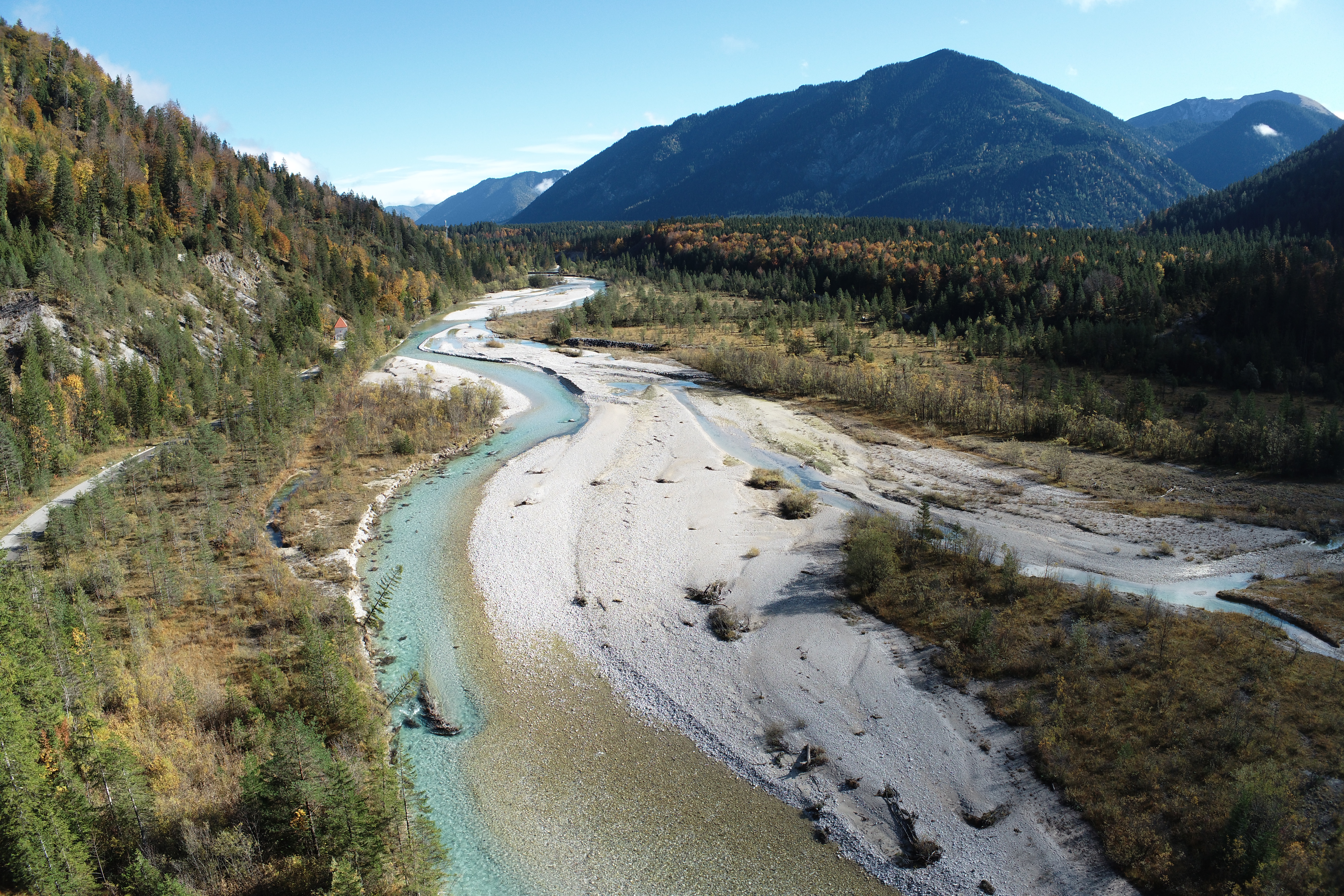
The Upper Isar river is located in the pre-alpine landscape close to the German-Austrian border. It is part of a natural reserve and an important wildlife habitat. The high sediment load in the river poses flood risks to the adjacent settlements. The Upper Isar UAS hydrometry survey was carried out from February 24th to February 27th, 2024.
A map of the Upper Isar area of interest is here.
The Upper Isar dataset can be accessed here.
The second UAWOS target area on the Isar River is located near the town of Bad Tölz - a map of the area is here. The survey took place in July 2025 and the dataset is here.